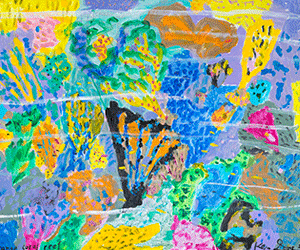
The work of James Geurts traverses a range of territories: fault lines in Bendigo, archaeological sites in Melbourne, Litchfield National Park in the Northern Territory, tectonic plates colliding in Italy and two different points on the meridian. Through this attention to place and time, Geurts both questions and unpacks how we measure, perceive and understand our contemporary landscapes. It’s these explorations that form the basis of his current exhibition Seismic Field.
Showing at GAGPROJECTS, Seismic Field spans site-based and conceptual works that look at the relationship between geographical forms and human perception. But Geurts doesn’t simply invoke various sites in his art—he creates new works from directly experiencing the sites he works from. “When you spend time out in the landscape or weather, or at sites that are charged with rifts and interventions of industry, something can shift in the way you read the site, how these relationships and collisions form something else in the conscious reading of the place, and how that can form something more symbolic,” explains the artist. “These works look at the way the landscape is constantly viewed through varied and changing cultural lenses.”
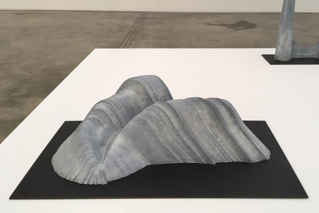
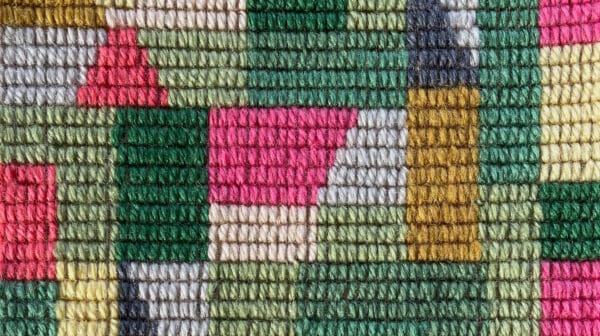
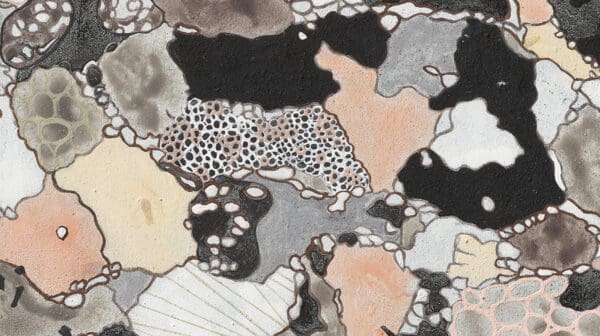
Focusing on the particular, Geurts points out how this sense of site reveals itself throughout Seismic Field. “My Rift Margin sculpture subverts horizontal topographical layers of an exposed quartz reef into vertical lines, which talk about the mind’s relationship to a place,” he says. “While Geophony expands on this and gives form to the imagined shape of movement that archaeological objects make as they slowly push through the forces of geological and cultural strata.”
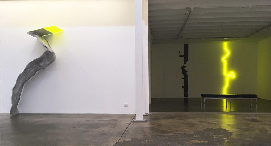
Although Geurts works across sculpture, drawing, video and photography, in Seismic Field it’s the figure of the seismogram which is foregrounded. “The Seismogram work was initially made as a work on paper while walking along the Whitelaw Fault near Bendigo, pausing at several intersections where the fault line meets mineshafts,” explains Geurts. “The drawing looks at where these forces of industry and geology converge, and the technology that industry uses to measure, scan and penetrate landscape.” While Geurts often starts from drawing, he also uses scanning and Polaroids to further capture geological sites and landscapes. After drawing the fault line for Seismogram, Geurts soon transformed a flatbed scanner into a hand scanner, where he further scanned the fault line, allowing for elements like dirt, dust and light to enter the scanning process as well.
Underneath these explorations lies an attention to how we measure the world around us. “I’ve always been interested in ways we conceive time and perceive landscape, how we measure ourselves in relation to phenomena such as weather, orbits, tides and horizon lines,” says Geurts. “I often invent obscure measuring devices, use my body as a way to measure time in place through durational drawing, or make impossible propositions that question or intervene in fundamental scientific methods of measurement—a constructed procedure used to construct meaning, rather than used to construct reality.”
Seismic Field
James Geurts
GAGPROJECTS
21 November – 21 December